SCE “Taraz Su” introduces Geographic Information Systems (GIS) and Hydraulic Modeling
SCE “Zhambyl su” introduces Geographic Information Systems (GIS) and Hydraulic Modeling

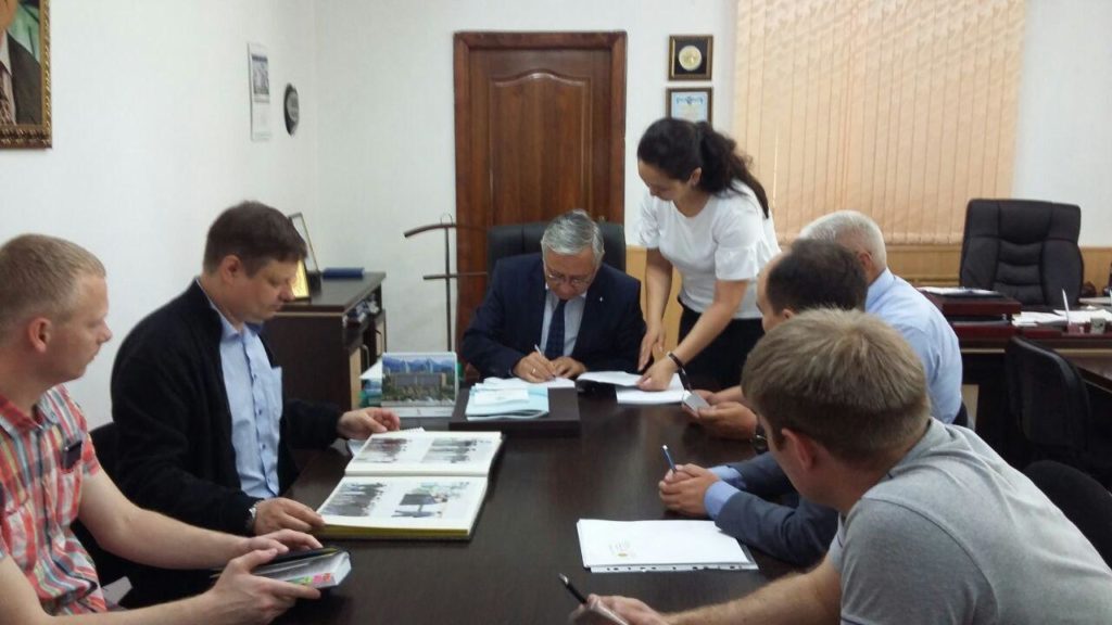
On 6 June 2017, SCE “Taraz Su” entered into the Contract “Development of the Performance Improvement Plan for the water supply networks” (the Project No 42664) with “EcoInfraEngineering” LLP intended to implement GIS and Hydraulic Modeling of water supply systems within the Taraz Water Project financed by the European Bank for Reconstruction and Development and the Akimat of Taraz City.
“EcoInfraEngineering” LLP (the Republic of Kazakhstan, the Lead Consultant) is a contractor together with “EcoInfraEngineering” LLC (the Russian Federation, the sub-consultant), “Schneider Electric” LLP (the Republic of Kazakhstan, the sub-consultant), and “Devir” LLP (the Republic of Kazakhstan, the sub-consultant).
It is envisaged under this component of the Project to go through the following stages:
- Making an electronic map of the entire water supply system with the consumption data pertaining to every customer. Inputting consumption data into an address plan of the map;
- Creating a dynamic hydraulic model of the existing water supply system;
- Development of assessment criteria (energy efficiency, capital intensity, payback period, and etc.) and modernization criteria for the water supply system;
- Determination of water pressure for every customer. Elaboration of measures to keep the required pressure in the water supply system (for zoning, pressure loss response, and etc.);
- Giving options of modernizing the water supply system and selecting the best one. Giving recommendations for the water supply system development.
